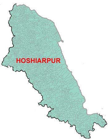
Welcome To District Hoshiarpur(Punjab)--Introduction

Total area of Hoshiarpur district is 339000 hectares, out of which forest area is 109000 hectares (32.15 per cent). Nearly 60 percent is the net sown area out of which 81 percent is irrigated and the cropping intensity is 170 percent, 18 percent points less than the state average. For 90 percent of irrigated area, source of irrigation is tubewells(electric operated) and wells.Topographically, the district can be divided into three broad regions on the basis of soil-crop-climate complex.
The first region is constituted by flood plains comprising Dasuya, Tanda and Mukerian blocks. This is the most fertile area of the district covering one-fourth of the geographical area. It has wide spread irrigational facilities. Paddy, wheat, maize and sugarcane are the main crops of this region
The second region is Kandi area located at the foot of Shivalik Hills and covers the sub-mountainous undulating plain with a slope of 16 metres per kilometer which progressively decreases towards the west side of the district.


